01 One day
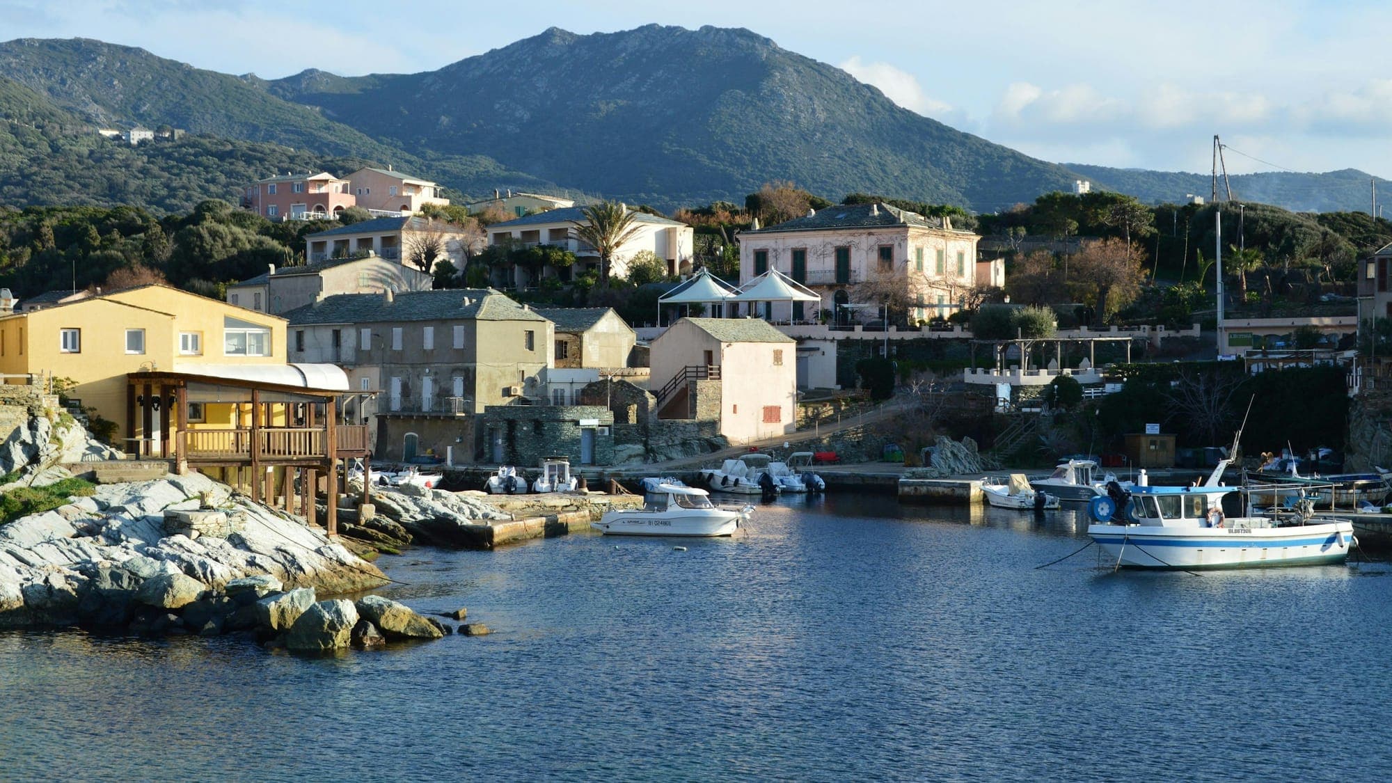
The Cap Corse loop
Corsica's finger, from one sea to the other
- Distance
- about 150 to 165 km
- Difficulty
- Intermediate
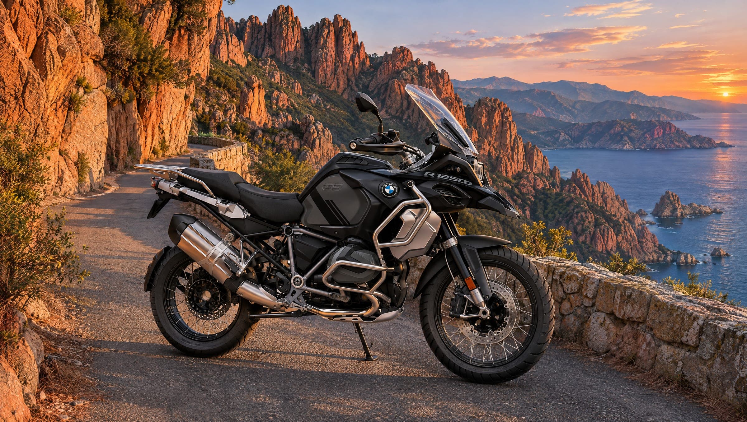
Three days from coast to coast, to the red granite
A three-day journey: the Scala di Santa Regina and the Col de Vergio, Corsica's highest road pass, down to Porto; the Calanques de Piana, a UNESCO World Heritage site together with the Gulf of Porto; then back along the coast via Calvi, L'Île-Rousse and the Agriates.
Day one crosses the island through its middle: the Golo gorges, the Niolu, then the Col de Vergio at 1,477 m and the long descent through the forests to the Gulf of Porto. By evening the sea is there, red beneath the cliffs.
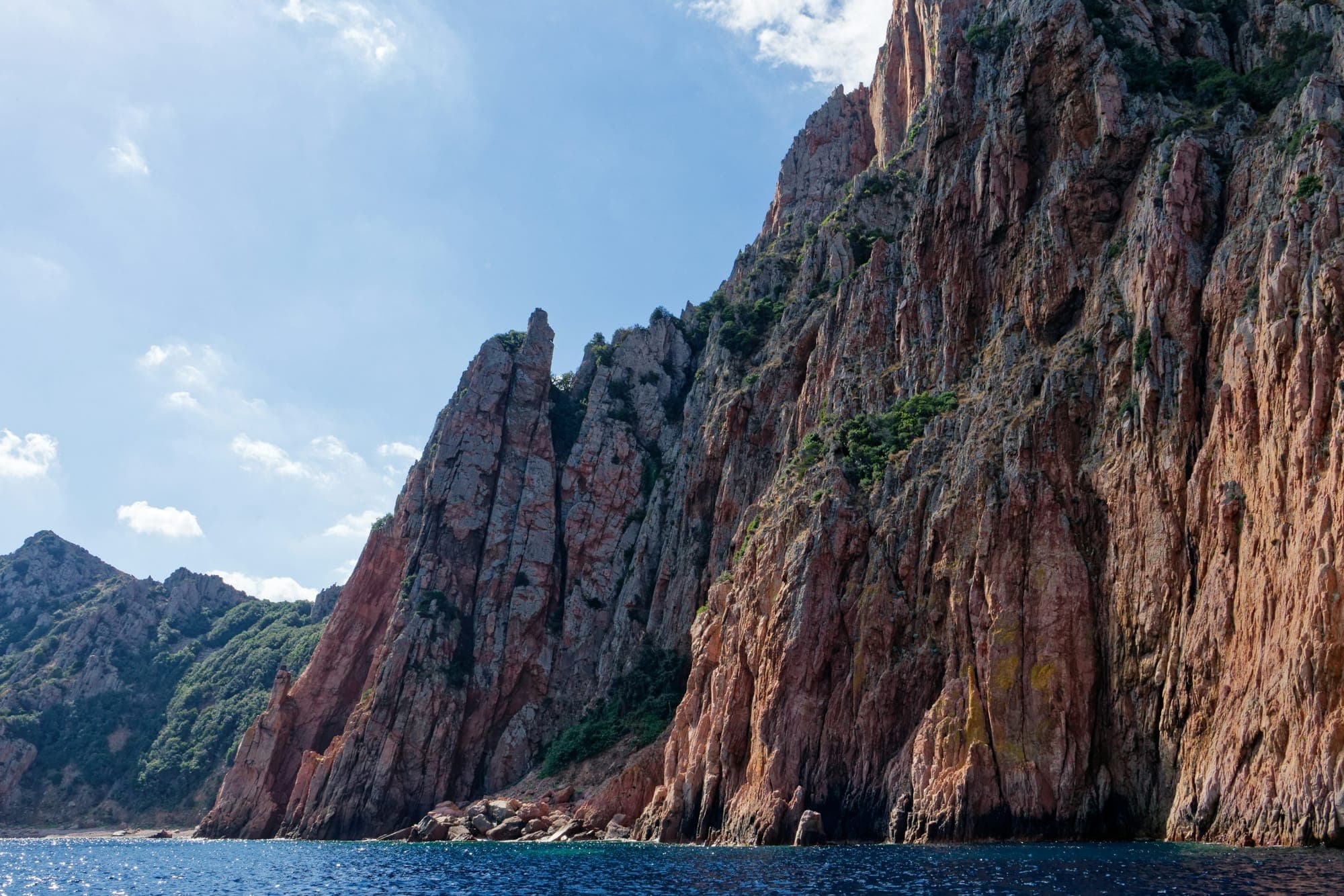
The next day, the road through the Calanques de Piana threads between rocks of pink granite high above the gulf. It is one of the Mediterranean's great landscapes and one of the island's narrowest roads: ride it early and unhurried, before heading home along the Balagne coast.
Stage 1
The fast road to the centre of the island.
Stage 2
The red granite gorges of the Golo, then the lake beneath Monte Cinto.
Stage 3
1,477 m, Corsica's highest road pass, between the Valdu Niellu and Aïtone forests.
Stage 4
The descent to the Gulf of Porto, your base for two nights.
Stage 5
About 11 km of narrow road between red granite rocks, up to the village of Piana, one of France's most beautiful villages.
Stage 6
The west coast heading north, twisty and quiet.
Stage 7
The Balagne, then across the Agriates desert.
Stage 8
The last pass, with both seas in view, before Bastia and the ride back to the airport.
Distances and riding times are approximate and exclude stops. Check the weather and road conditions before you set off.
01 One day
Corsica's finger, from one sea to the other
02 One day
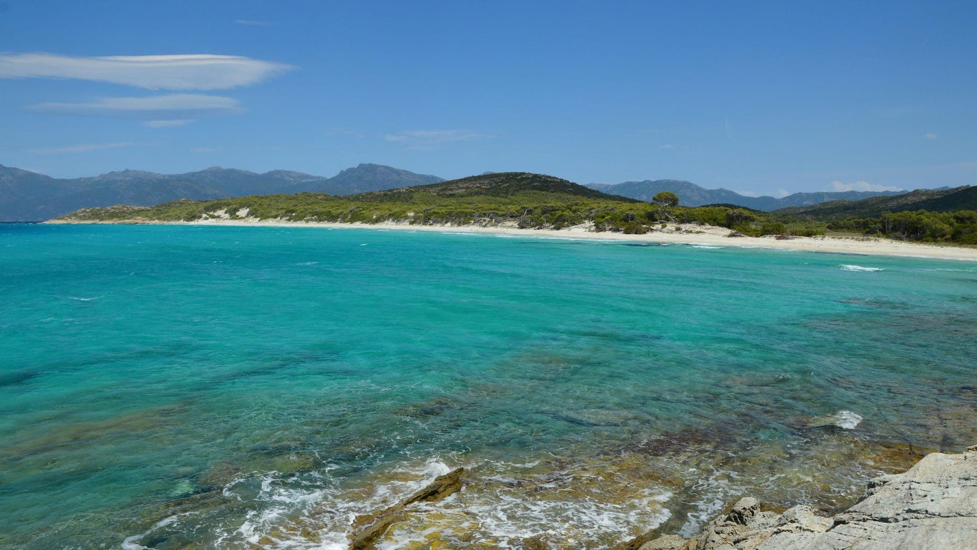
The gulf, then the great empty maquis
03 A long day
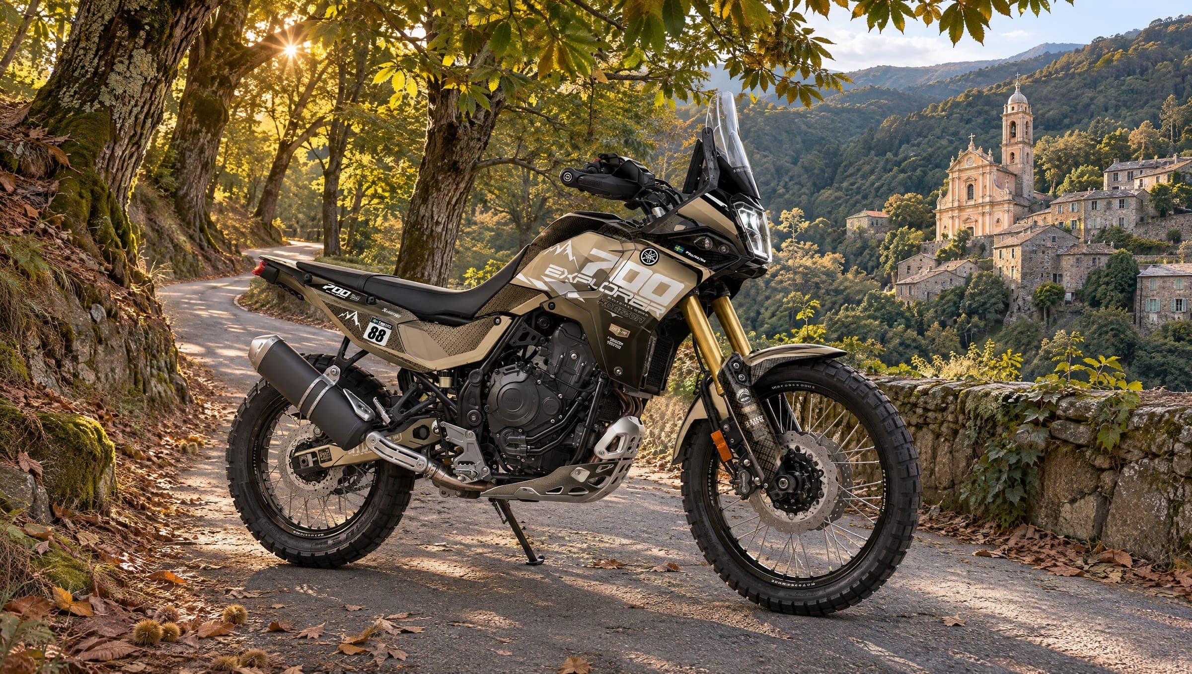
Chestnut forests, baroque bell towers and the story of Paoli