01 One day
The Cap Corse loop
Corsica's finger, from one sea to the other
- Distance
- about 150 to 165 km
- Difficulty
- Intermediate
The gulf, then the great empty maquis
A one-day loop: the Col de Teghime, Patrimonio, Saint-Florent and its citadel, across the Agriates on the D81, L'Île-Rousse, then back through the interior via Ponte-Leccia and the T20.
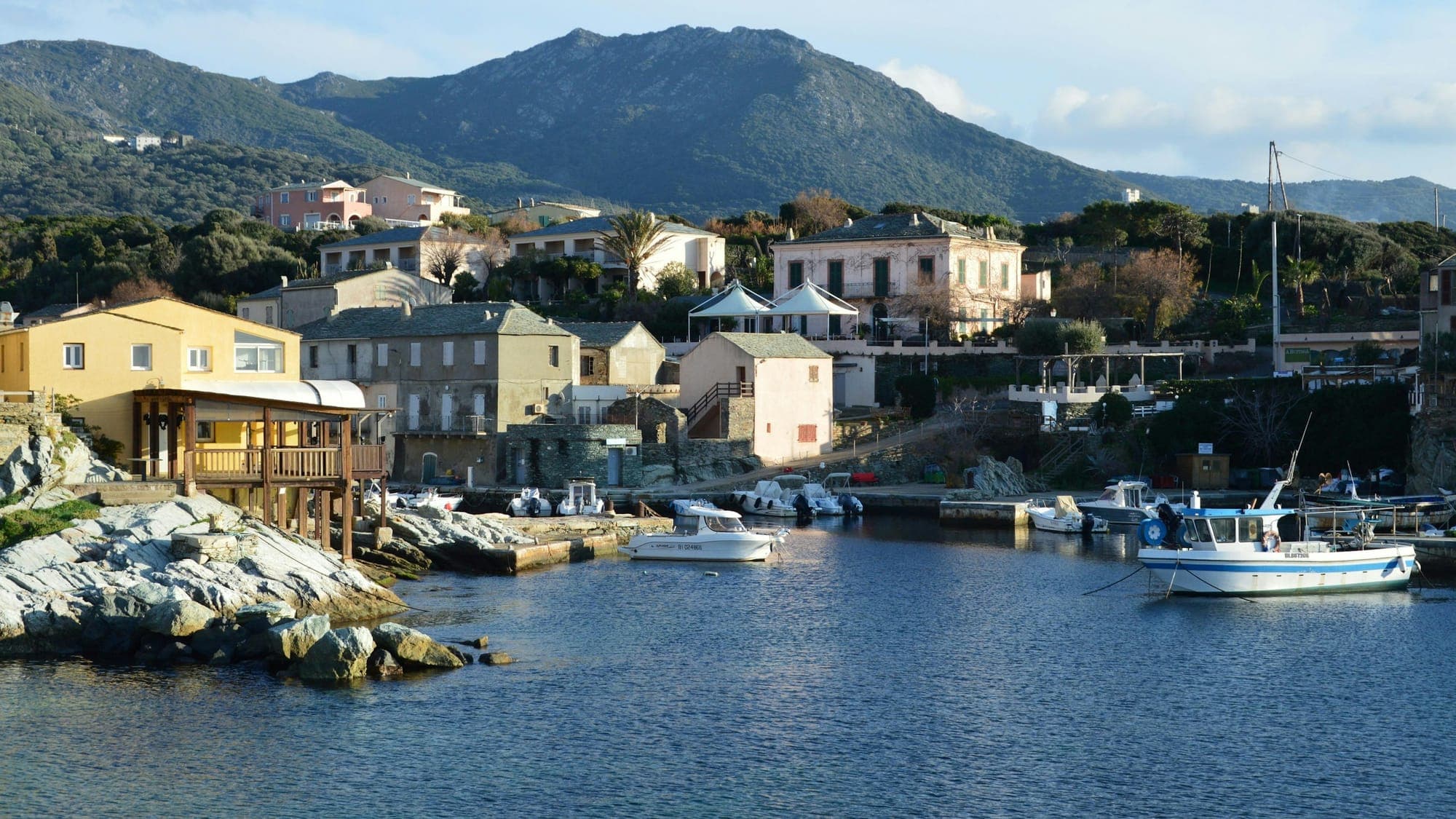
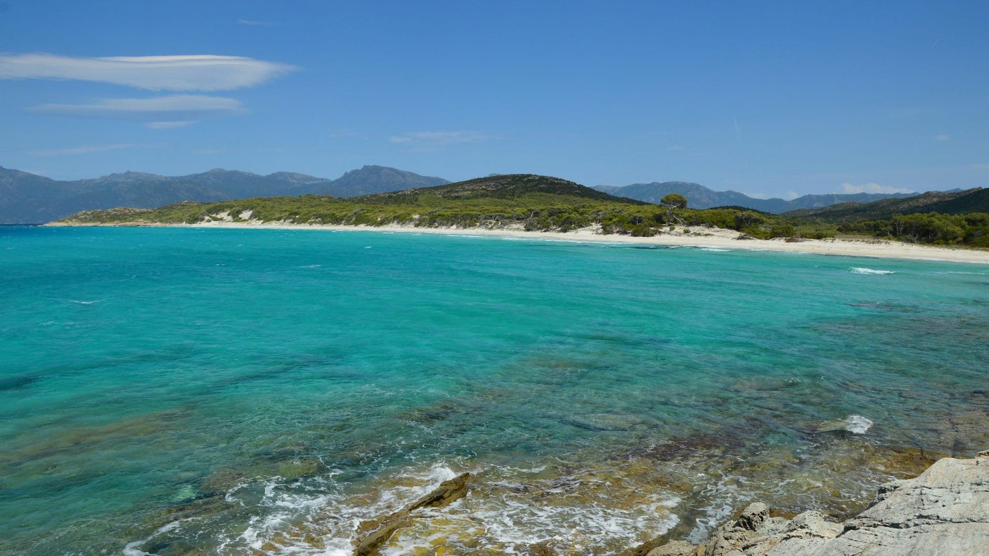
The Col de Teghime tips you over onto the Gulf of Saint-Florent, its vineyards and its little harbour beneath the Genoese citadel. Then the road plunges into the Agriates: hills of maquis and rock as far as the eye can see, not a single village, the sea only a glimpse in the distance.
The beaches of Saleccia and Lotu stay hidden: you reach them on foot, by boat from Saint-Florent or along dirt tracks. On the bike you live the desert's other side, a flowing, almost empty road that finally opens onto L'Île-Rousse.
Stage 1
Head north to Bastia, then up to the Col de Teghime.
Stage 2
536 m, with views over both coasts.
Stage 3
Vineyards of Corsica's first AOC (1968) and the U Nativu statue-menhir.
Stage 4
The 15th-century Genoese citadel, the harbour and the Romanesque cathedral of the Nebbiu on the edge of town.
Stage 5
The road skirts the desert via Bocca di Vezzu (311 m); an active military firing range sits beside the road at Casta.
Stage 6
The Balagne coast, before heading back inland.
Stage 7
The crossroads at the heart of the island, with its Genoese bridge.
Stage 8
A fast road down the Golo valley.
Distances and riding times are approximate and exclude stops. Check the weather and road conditions before you set off.
01 One day
Corsica's finger, from one sea to the other
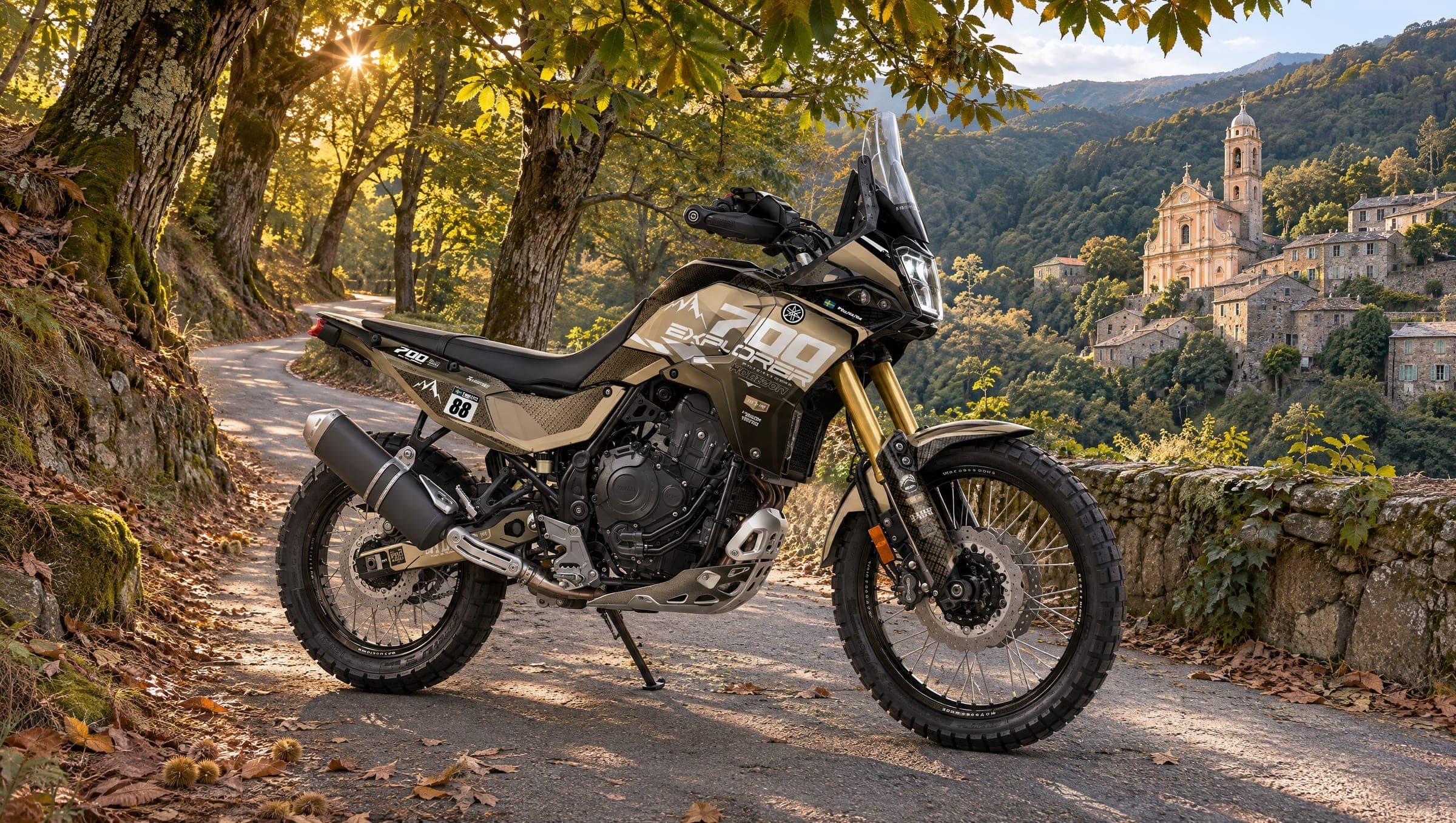
03 A long day
Chestnut forests, baroque bell towers and the story of Paoli
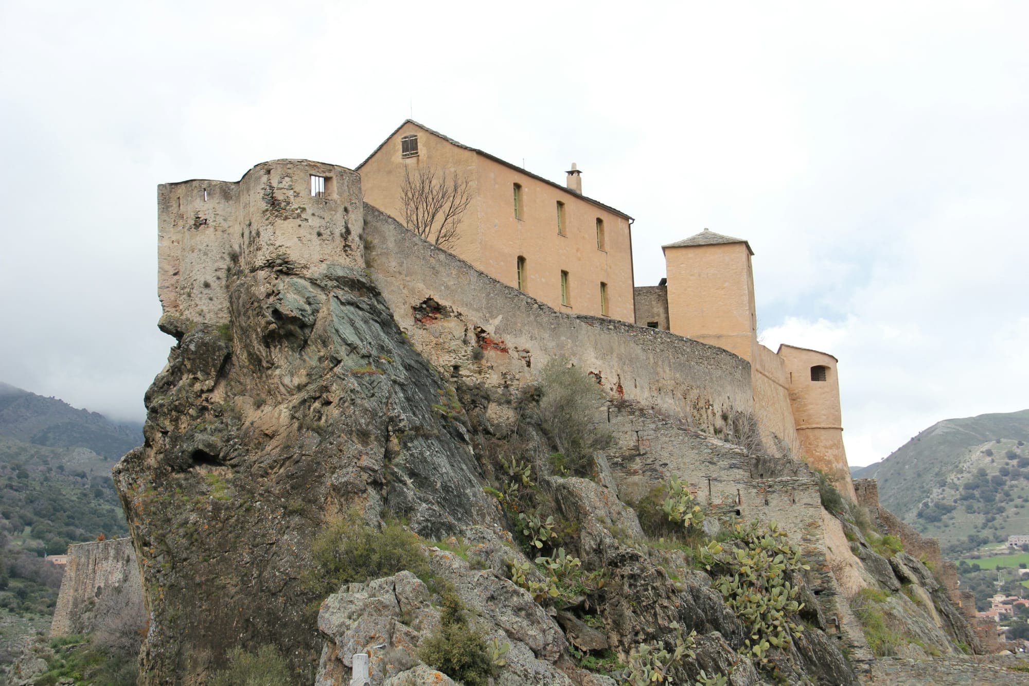
04 One day
Paoli's citadel and the red granite gorges